
‘A Delineation of the Strata of England & Wales…’ (1815)
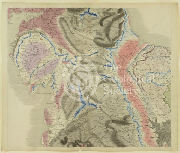
Plate V [Yorkshire]
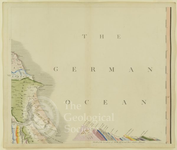
Plate VI [German Ocean]
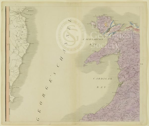
Plate VII [St George’s Channel]
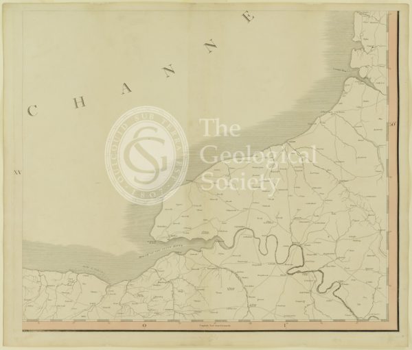
Plate XV [France]
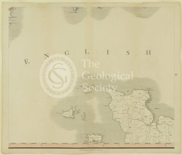
Plate XIV [English Channel]
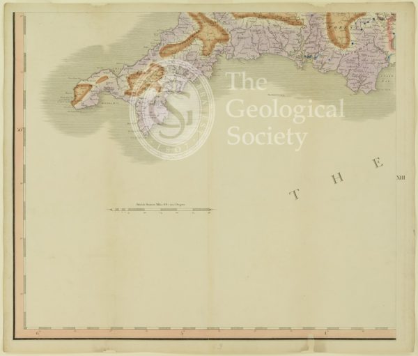
Plate XIII [Cornwall]
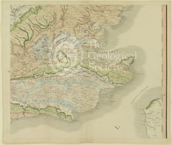
Plate XII [Kent]
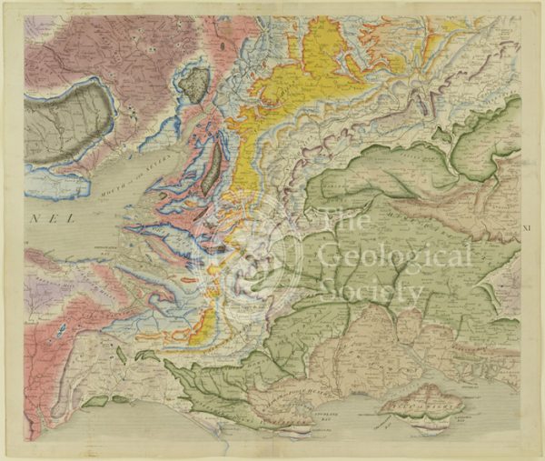
Plate X [Isle of Wight]
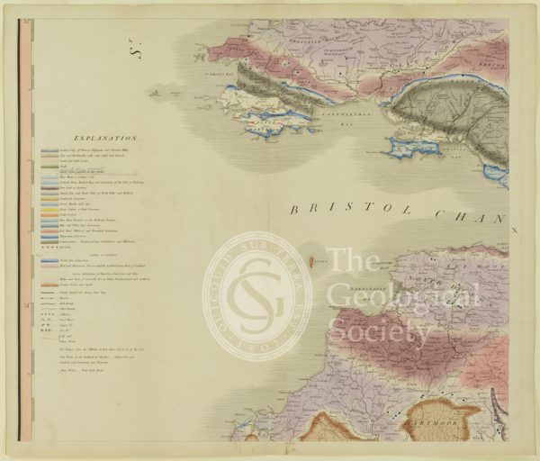
Plate X [Bristol Channel]
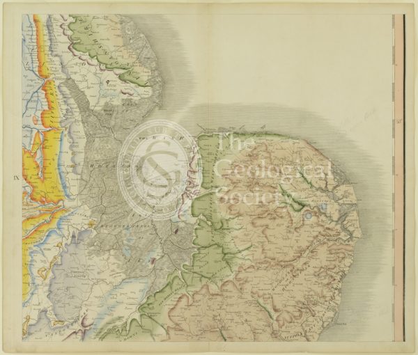
Plate IX [East Anglia]
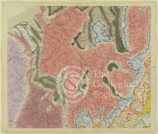
Plate VIII [Welsh border]
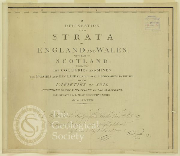
Plate III [Title page]
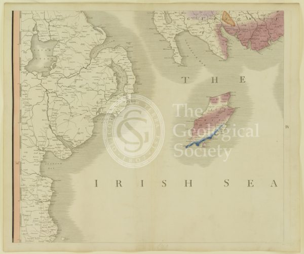
Plate IV [Irish Sea]
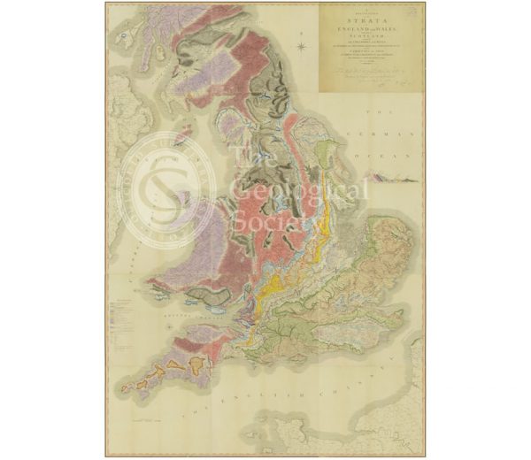
‘A Delineation of the Strata of England and Wales…’ (Smith, 1815)
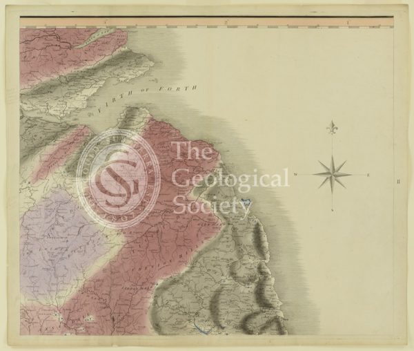
Plate II [Firth of Forth]
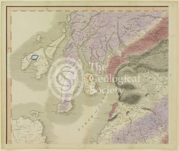
Plate I [Firth of Clyde]