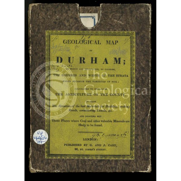
Title: Original box and label for a ‘Geological Map of Durham’
Creator: George & John Cary
Description: Original box for a ‘A New Map of Durham divided into Wards, exhibiting its Roads, Rivers, Parks, &c’.
The label states ‘Geological map of Durham: on which are delineated by colours, the courses and width of the strata which occasion the varieties of soils; calculated to elucidate the agriculture of the county, to show the situation of the best materials for building, making roads, constructing canals, &c and pointing out those places where coal and other valuable minerals are likely to be found.’
The geological colouring is William Smith’s (1769-1839) but is no longer acknowledged on this later issue of the map. This map belonged to George Bellas Greenough.
Date: 1831
Archive reference: LDGSL/1008/180
Image reference: 07-134a
Recommended print size: Up to 10 x 8 inches (25 x 14cm)