Title: First geological map of Jersey
Creator: Richard John Nelson (1803-1877)
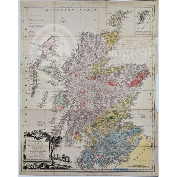
Description: Geological colouring and explanation on base map ‘The island of Jersey, as divided into parishes and vingtaines or cantons’, scale 1 inch to 1 mile, published, 1825. Foldout, manuscript key in another hand.
The map, which was the first geological map of the island, was prepared for inclusion in Nelson’s paper “Geological survey of the island of Jersey”, Quarterly Journal of Science, Literature and the Arts, vol 6 (1829) p.359-378, but was never published.
Date: [c.1828]
Format: Watercolour on base map
Archive reference: LDGSL/723
Image reference: 07-173
Recommended print size: Up to 70 x 50cm (27in x 20in)

![First geological map of Jersey [c.1828]](https://gslpicturelibrary.org.uk/wp-content/uploads/2021/09/07-167-LDGSL-723.jpg)

