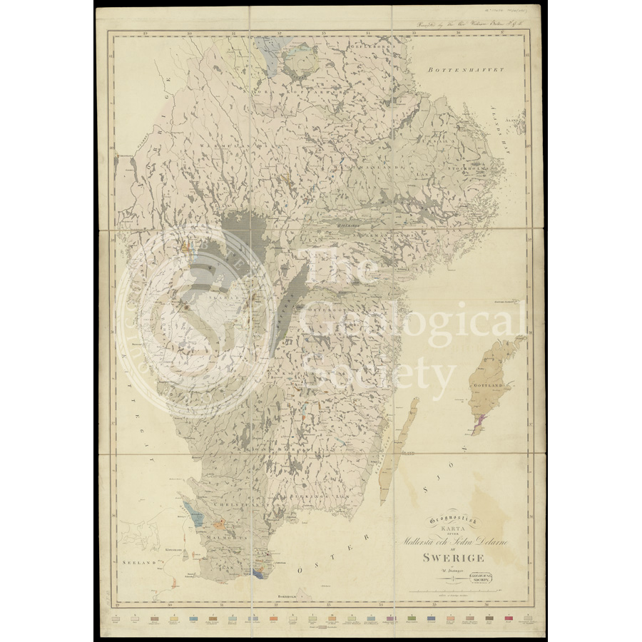
Title: Geognostic map of Sweden (1834)
Creator: William Hisinger (1766-1852)
Description: Geonostisk karta öfver medlersta och sodra delarne af Swerig [Geognostic map of Sweden].
The map is annotated as being donated to the Society by the Rev William Bilton FGS [on 1 May 1840].
Date: 1834
Format: Hand coloured map
Image reference: 07-187
Recommended print size: Up to 100 x 70cm (40in x 27in)