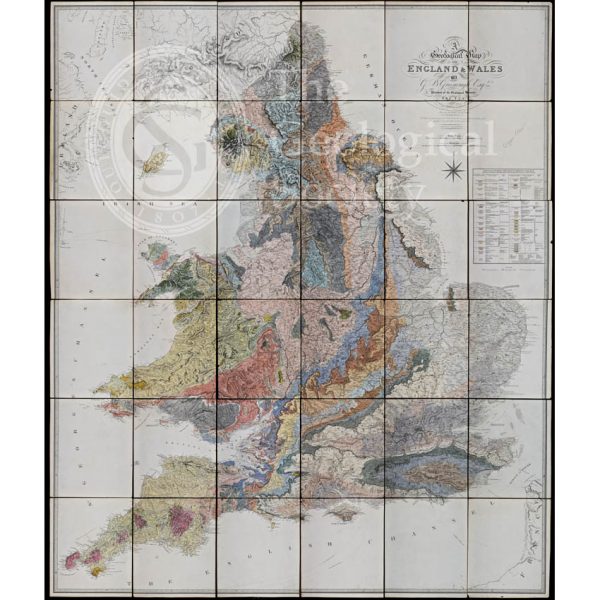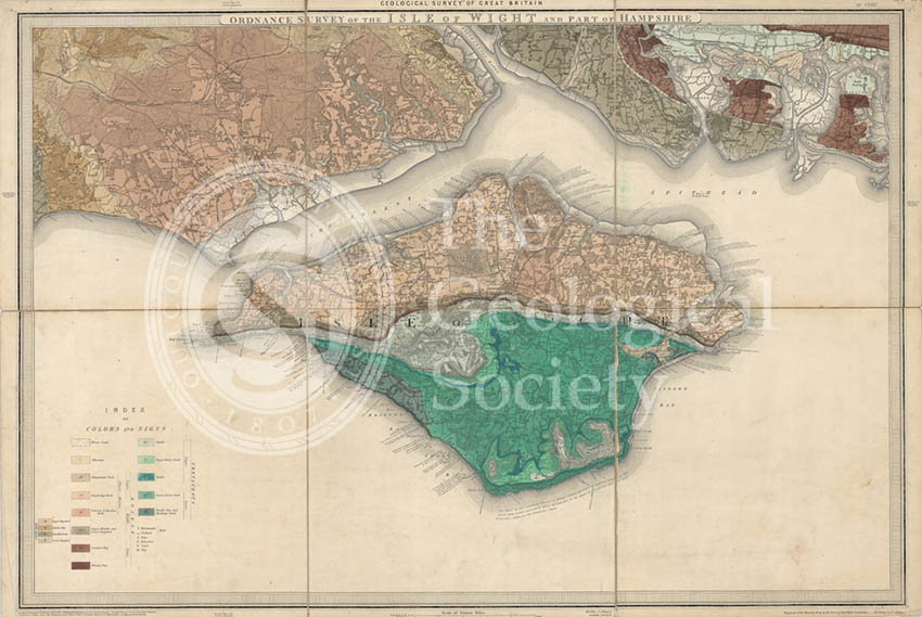
Title: Geological Map of England and Wales. Sheet 10. Isle of Wight
Creator: Sir Roderick Impey Murchison
Description: This is one of the original, old series 1 mile to the inch maps published by the Geological Survey of England and Wales. This particular sheet was by Sir Roderick Impey Murchison
Publisher: Geologcial Survey of England and Wales
Date: October 1856
Format: Geological map. Watercolors and ink, base map lithographed form engraved plates.
Image reference: 07-14
Size of original: 63 cm. x 93 cm.
Recommended print size: 70 X 100cm