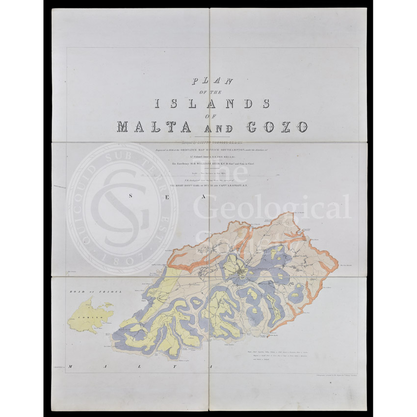
Title: Geological map of Gozo and Cominos, Malta
Creator: Lt J W Worsley, R E
Description: Plan of the islands of Malta and Gozo by J W Worsley, using geological data from Earl of Ducie and Capt T A B Spratt, RN.
Date: 1856
Format: Coloured lithograph
Image reference: 07-184
Recommended print size: Up to 70 x 50cm (27in x 20in)