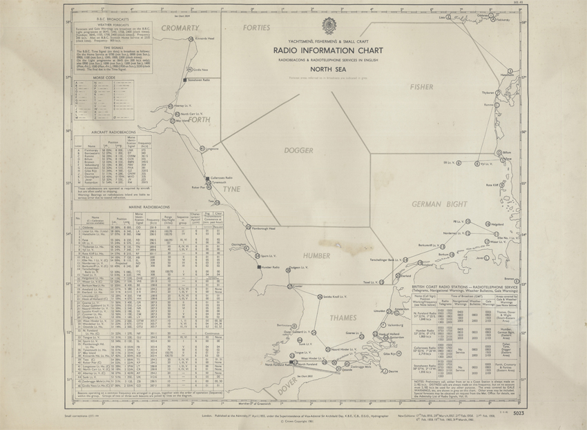
Title: Yachtsmen’s, Fishermen’s & Small Craft Radio Information Chart
Creator: The Hydrographic Office
Description: Map showing radio-beacons and shipping forecast areas in the North Sea as well as a host of other useful information for those at sea.
Date: 1961
Format: Map
Image reference: 07-163
Original size: 70 x 52 cm.
Recommend print size: Up to 27 x 20 inches (70 x 50 cm.)

