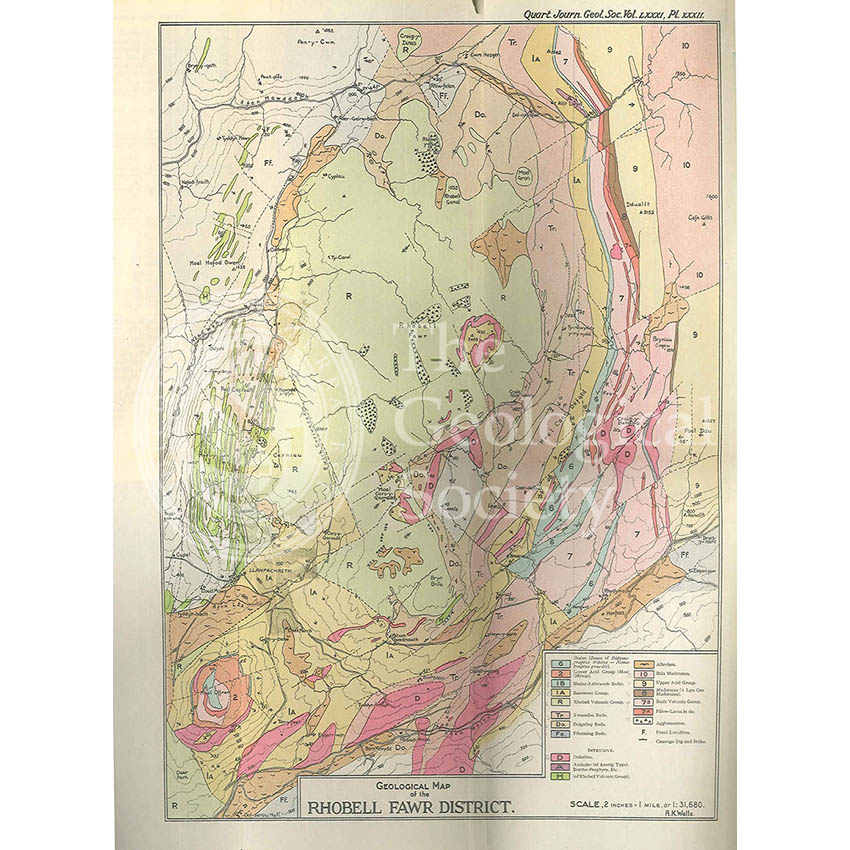
Title: Geological Map of the Rhobell Fawr District
Creator: Alfred Kingsley Wells
Description: Published in ‘Quarterly Journal of the Geological Society’ vol. 81 (1925) pl. 32 at a scale of 1:31,180 or 2 inches to the mile.
Publisher: The Geological Society of London
Date: 1925
Format: Map. Colour. Printed on paper, bound with text.
Image reference: 07-54
Size of original: 37 cm x 26 cm
Recommended print size: 16″ x 12″ (for full-size print)