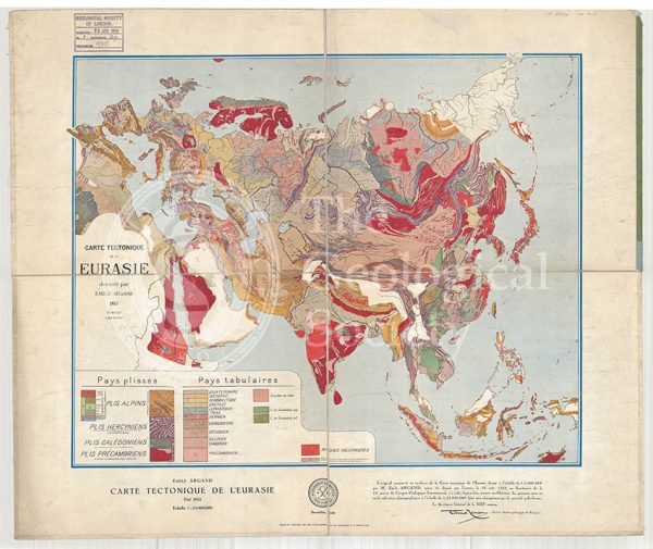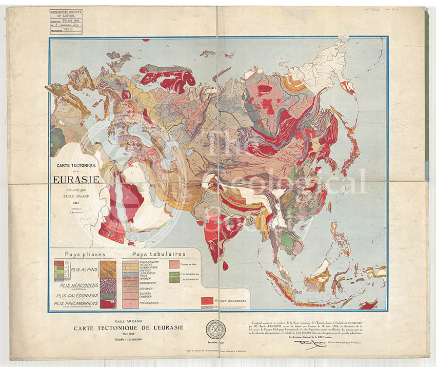
Title: Carte tectonique de l’Eurasie
Creator: Emile Argand (1879-1940)
Description: A very early tectonic map of Europe and Asia. This map was originally produced on a scale of 1:8,000,000 for the 13th International Geological Congress held in Brussels in 1922
Date: 1928
Format: Geological map.
Image reference: 07-122
Size of original: 55 cm. x 66 cm.
Recommended print size: up to 100 x 70 cm