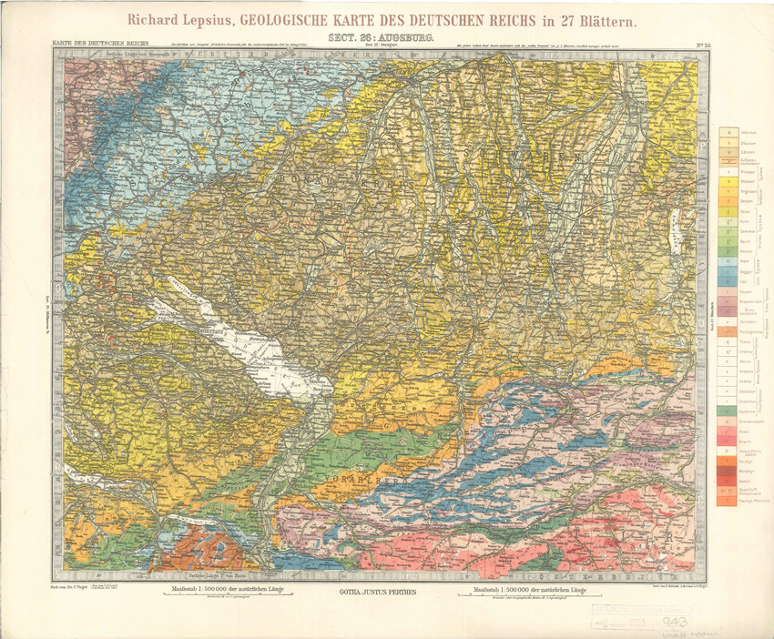
Title: Geologisches Karte des Deutschen Reichs – 26. Augsburg
Creator: Richard Lepsius [1851-1915]
Description: From Geologische Karte des Deutschen Reichs auf Grund der unter Dr. C. Volgels Redaktion in Justus Perthes’ Geographischer Anstalt in Gotha ausgefürten Karte in 27 Blättern in 1:500,000. An example of an early chromolithographed geological map.
Date: 1897
Format: Geological map
Image reference: 07-81
Original size: 40 x 49 cm.
Recommend print size: Up to 20 x 16 inches (50 x 40 cm.)


