
scotland
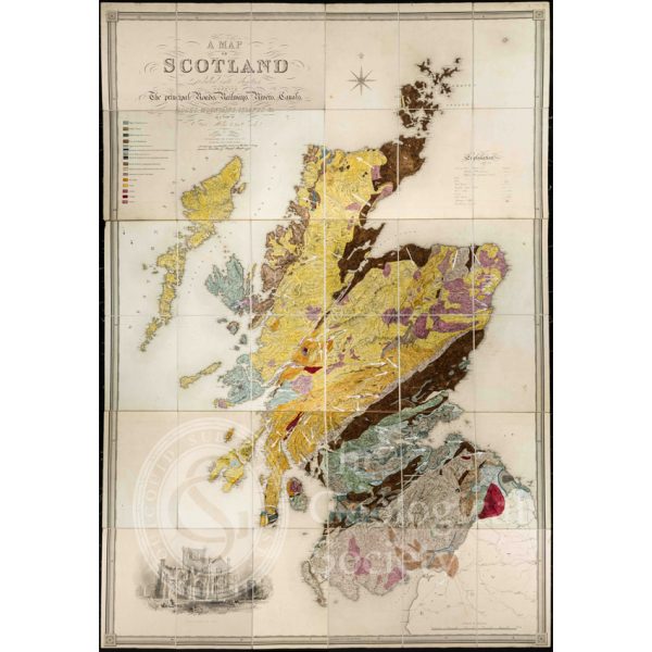
Greenough’s and Sharpe’s Geological Map of Scotland [1852] – final copy
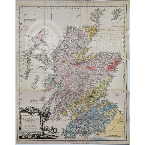
First Geological Map of Scotland [1808]
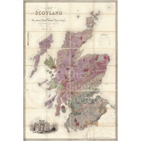
Greenough’s and Sharpe’s Geological Map of Scotland [1852] – draft
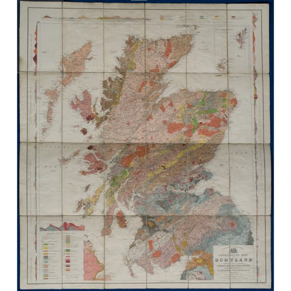
Geological map of Scotland (Geikie, 1910)
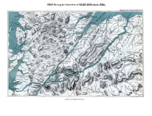
Map shewing the Connections of Glen Roy with the Sea (Cross, 1817)
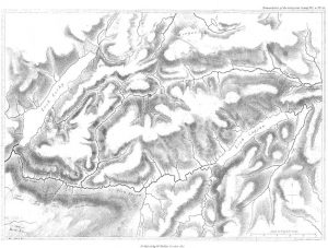
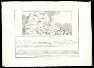
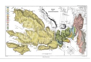
Map of Glen Roy (MacCulloch, 1817)
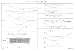
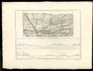
Sections of Glen Roy (MacCulloch, 1817)
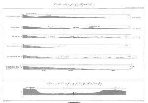
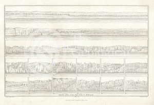
Curvilinear Sections from Glen Roy to the Sea (MacCulloch, 1817)
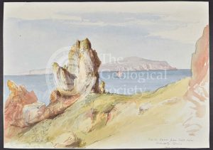
Selected parts of the East Coast of Trotternish (Stewart after MacCulloch, 1819)
Granite veins and gneiss at Cape Wrath… (Stewart after MacCulloch, 1819)
Trap veins at Airdnamurchan point… (Stewart after MacCulloch, 1819)
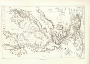
Sky and the adjoining islands (Stewart after MacCulloch, 1817)
Sky and the adjoining islands (Stewart after MacCulloch, 1817)
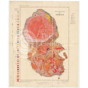
Geological Map of Arran (The Survey, 1910)
‘Parallel roads of Glen Roy’
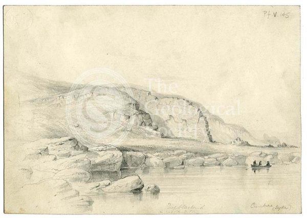
Dyke on Great Cumbra, Western Isles, Scotland
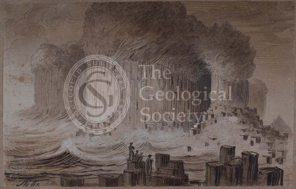
‘Staffa’
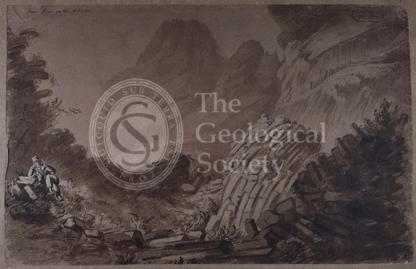
‘Scur Eigg in the Hebrides’
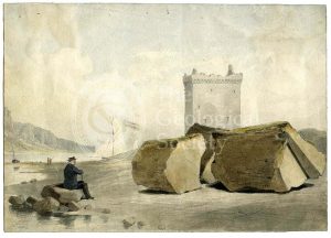
Split boulder on Little Cumbra, Western Isles
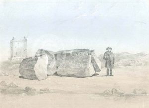
Split boulder on Little Cumbra, Western Isles
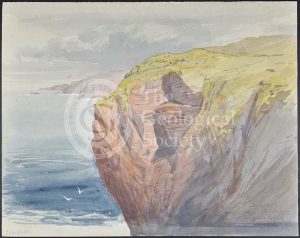
‘Cape Wrath’
‘North Suter from South Suter’
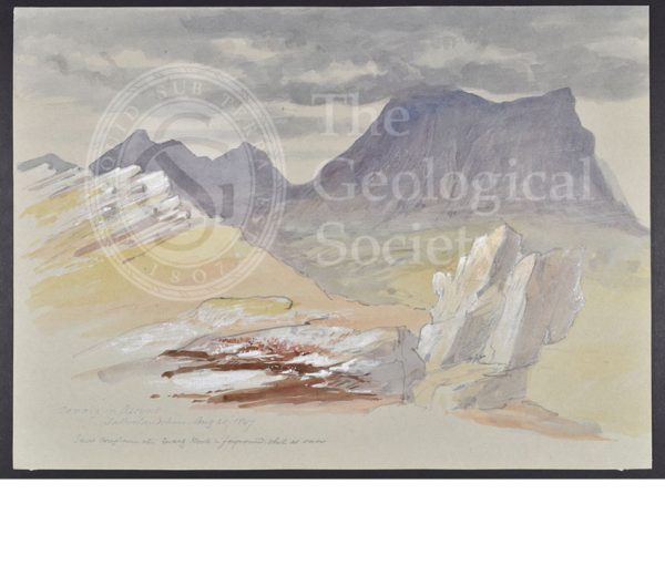
‘Cunaig in Assynt, Sutherlandshire’
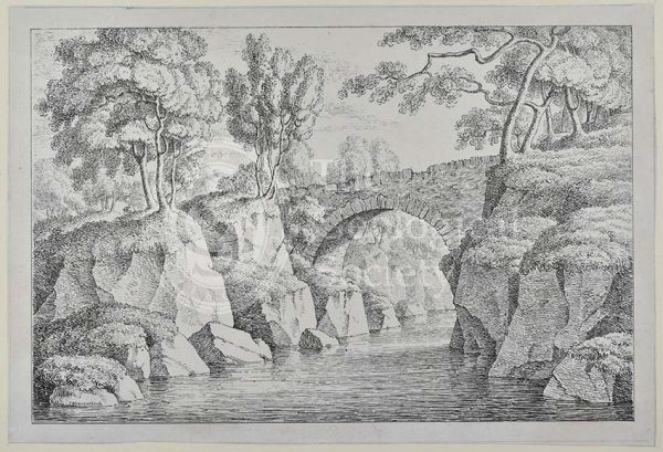
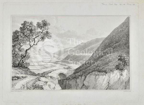
Bridge at Dunkeld
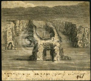
‘The Bullers of Buchan’
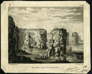
‘Rocks near Sandside’
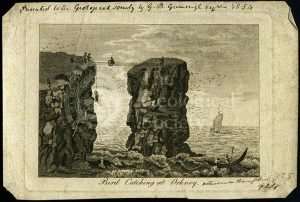
‘Bird catching at Orkney’
Volcanic neck, St Monans
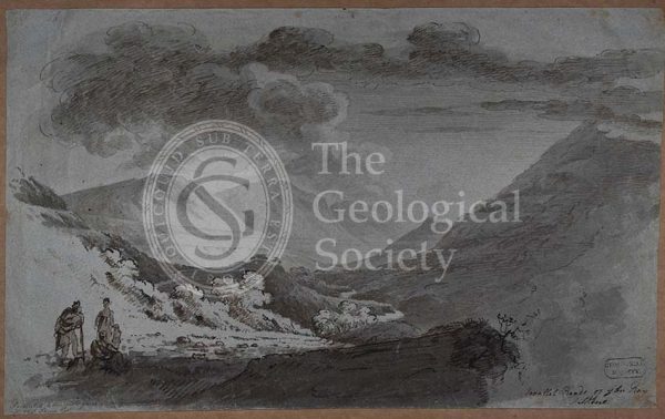
‘View of the Terraces at the top of Glen Roy’
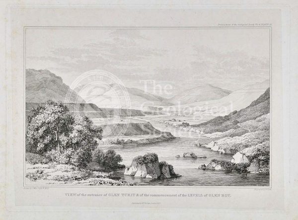
‘View of the entrance of Glen Turit and of the commencement of the Levels of Glen Roy’
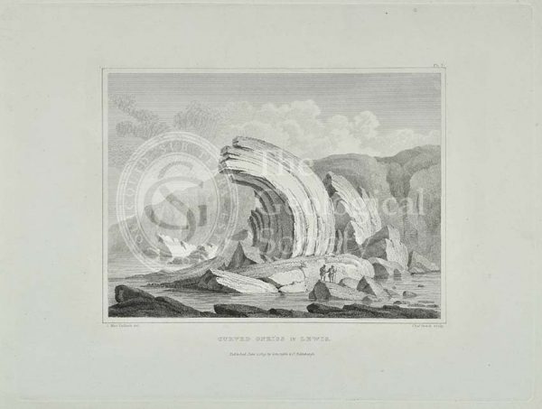
‘Curved Gneiss in Lewis’
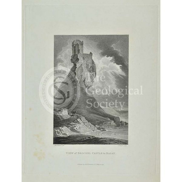
‘View of Brochel Castle in Rasay’
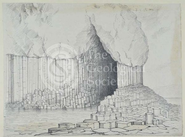
Fingal’s Cave, Staffa
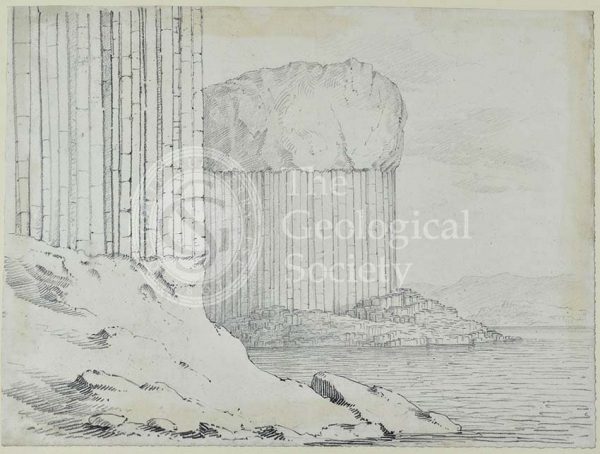
Staffa
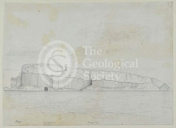
Staffa in profile
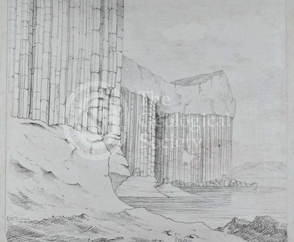
Staffa, showing Fingal’s Cave