Title: Reconstruction of William Smith’s Geological Map of Bath (1799)
Creator: Caroline Lam, Archivist, Geological Society. With thanks to Dan Brown, Bath in Time (www.bathintime.co.uk). Derived in part from material provided by the British Geological Survey © NERC and Bath Central Library
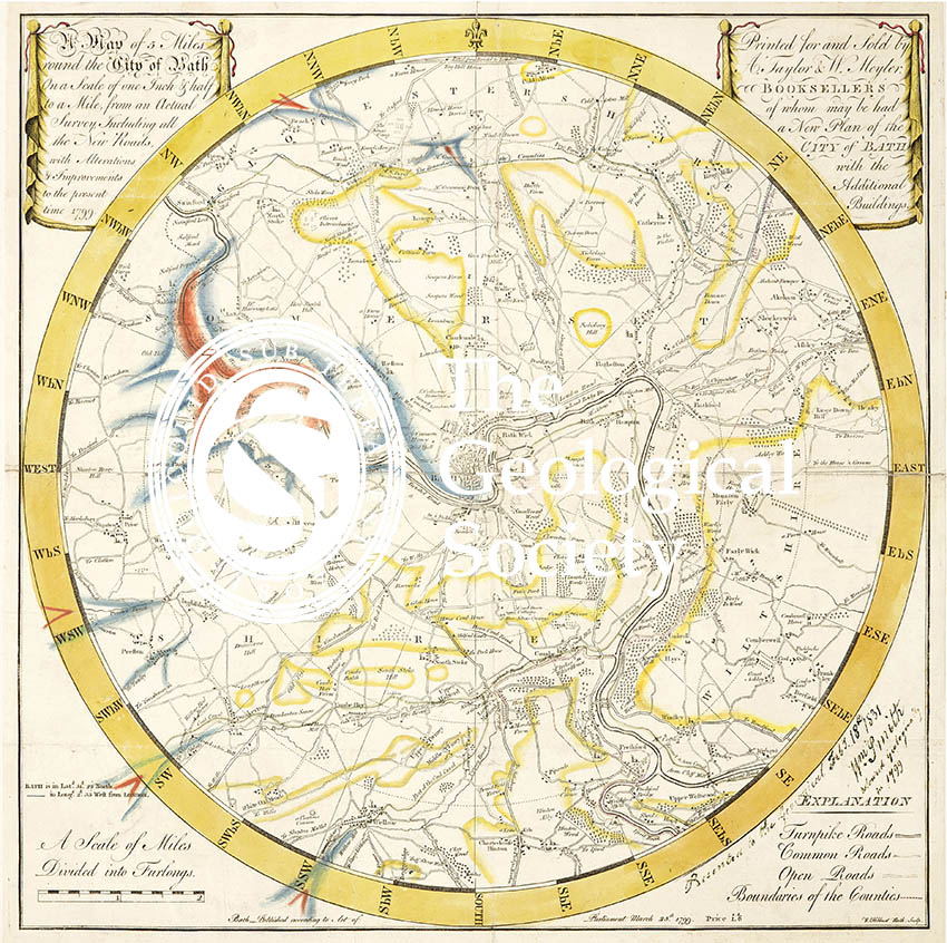
Description: Reconstruction of William Smith’s geological map of Bath (1799) in order to illustrate how the image may have looked when first created.
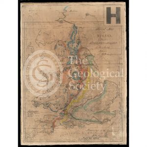
William Smith donated the original map in 1831, but years of varnishing and being hung on walls has meant that the item is very faded.
For this reconstruction, the geological colouring has been taken from the facsimile commissioned by John Wesley Judd (and coloured by Miss Margaret Reekes) in 1897, which has been laid over a copy of ‘A Map of Five Miles round the City of Bath…1799’, and subsequently enhanced. Created for the William Smith Bicentenary in 2015.
According to John Wesley Judd, “Though no lines are drawn, Smith’s well-known method of colouring the base of a formation with a deep tint, and shading this upwards towards the outcrop of the next overlying stratum, enables us to see how carefully he had mapped all the geological lines around Bath. There are only three colours employed on the map and no index; but it is evident that the yellow tint represents the Bath Oolite, the base of the freestones being very accurately mapped so that even the smallest outlines can be made out agreeing most closely with the map of the Geological Survey; a blue tint is drawn at the base of the Lias, and a red one at the base of the Trias, the inliers of Carboniferous being left blank”
Date: 1799, 1897, 2014
Format: Digital file
Archive reference: LDGSL/742a
Image reference: 07-136
Recommended print size: Up to 16 x 12 inches (40 x 30cm)