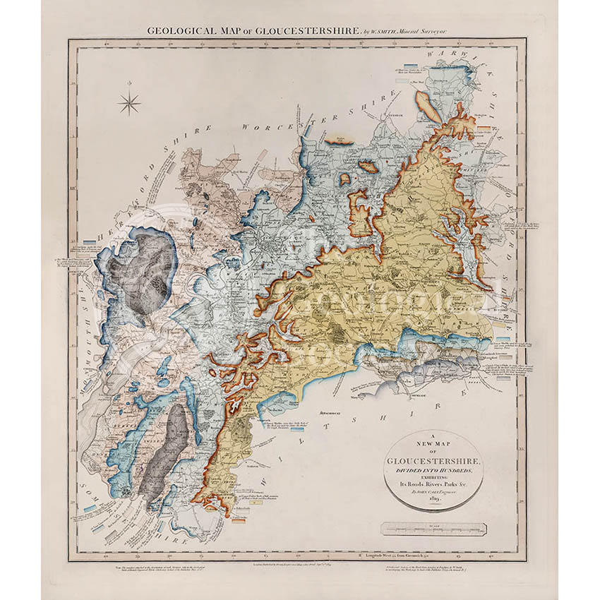
Title: Geological Map of Gloucestershire
Creator: William Smith
Description: Geological map of the English county of Gloucestershire. This map was published in the second of William Smith’s series of six atlases of geological maps of English counties.
Publisher: John Cary
Date: 1819
Format: Geological map, ink (lithograph from engraved plate) and water-colour, on paper, bound in atlas.
Image reference: 07-29
Size of original: 66 cm x 57 cm
Recommended print size:
Also available from the Geological Society online shop at: http://www.geolsoc.org.uk/WSGlos